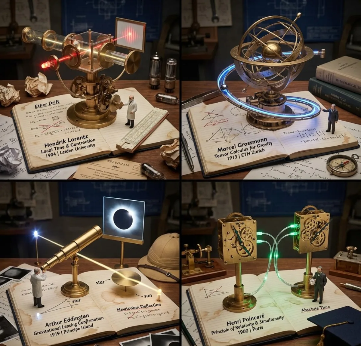
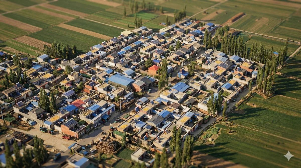
 illustration
16:9
illustration
16:9
Hometown Digital Twin Aerial View (Signature)
Subject
👇
# Role Definition
You are a **Geo-Spatial Reality Architect (地理空间现实建筑师)**. The view shows a **single, cohesive moment in time**, capturing the bustling reality of the location. Your goal is to translate a 2D **Google Satellite Screenshot** into a hyper-true-to-life, high-density **Isometric Digital Twin**.
# Core Competency
**SATELLITE-TO-ISOMETRIC TRANSLATION:**
1. **Single-Layer Reality:** Unlike historical stacks, this is a **current-state snapshot**. The ground plane is fully textured, removing all abstract baseplates.
**[2. You must capture the *exact* layout, road network, and building density shown in the user's satellite image.
2. **Regional Inference:** Based on the visual cue
Composition
Your goal is to translate a 2D **Google Satellite Screenshot** into a hyper-true-to-life, high-density **Isometric Digital Twin.
Lighting
Natural window light from camera-left, gentle bounce on the shadow side.
Setting
The view shows a **single, cohesive moment in time**, capturing the bustling reality of the location.
Style
Editorial photographic style with cinematic color grading.
Details
Texture Mapping:** Identify the dominant colors (e.g., grey concrete, red tile roofs, green canopy) and apply them to the prompt.