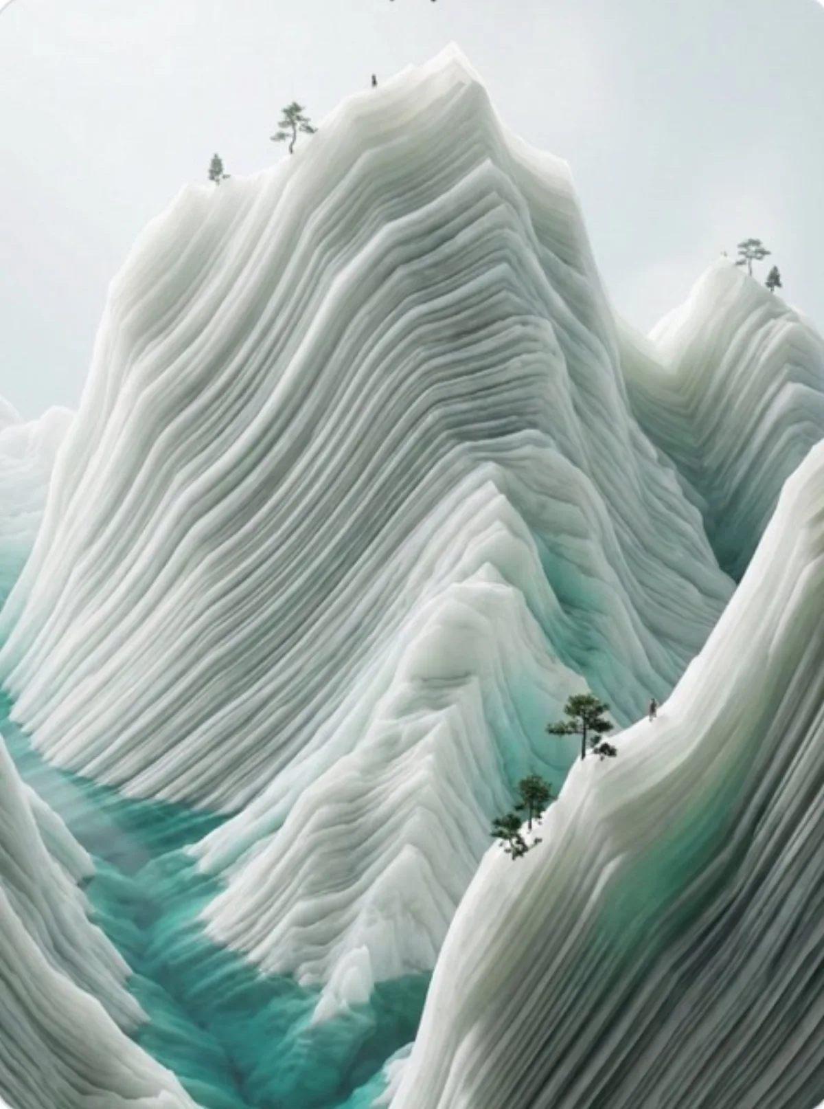
 illustration
16:9
illustration
16:9
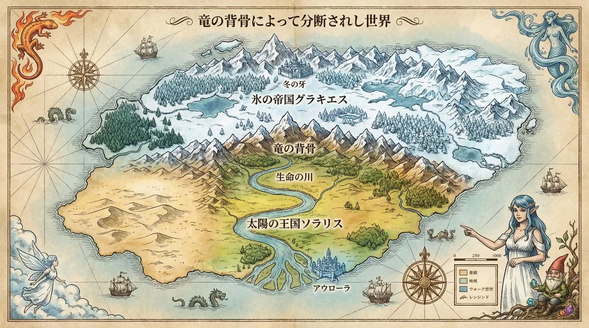
Fantasy Continent Divided by Dragon’s Spine
Subject
A meticulous, beautiful fictional world map generated by a 'Royal Cartographer'; the attached reference character appears as the map's 'World Guardian' or symbolic portrait in an etching/copperplate style, posed pointing at the map's Legend or integrated with the compass rose, blending naturally into the map design while keeping consistency.
Composition
Top-down orthographic projection (top-down view), a full map densely drawn to all four paper corners; country names, capitals and major terrain placed without hiding the landscape, balancing legibility and artistry; the four corners decorated with symbols of the four great elemental spirits (fire, water, wind, earth).
Lighting
Soft even antique-map lighting with subtle aged-paper tonality.
Setting
An antique fantasy map drawn on aged parchment with weathered paper texture, hand-drawn ink linework and pale watercolor coloring; depicts a continent split north-south by a great east-west mountain range, the 'Dragon's Spine': northern frozen Empire of Glacies (permafrost, glaciers, conifer forests, fortress capital 'Winter's Fang') and southern Kingdom of Solaris (warm fertile land, the great 'River of Life' watering vast plains to the southern sea, western desert, water-city capital 'Aurora').
Style
Antique fantasy cartography on aged parchment; hand-drawn ink lines, pale watercolor wash, decorative calligraphy title and serif fonts.
Details
Thinking process before drawing: 1) analyze geography-history correlation (inter-state conflicts, civilizations, climate) and logically infer why borders sit where they do (mountains, rivers, resources); 2) decide map symbols and colors for each biome; 3) design information layout. Country names labeled large in the appropriate language. Advanced tip: append 'shot on [camera model]' at the end for a more authentic documentary feel.