 illustration
1:1
illustration
1:1
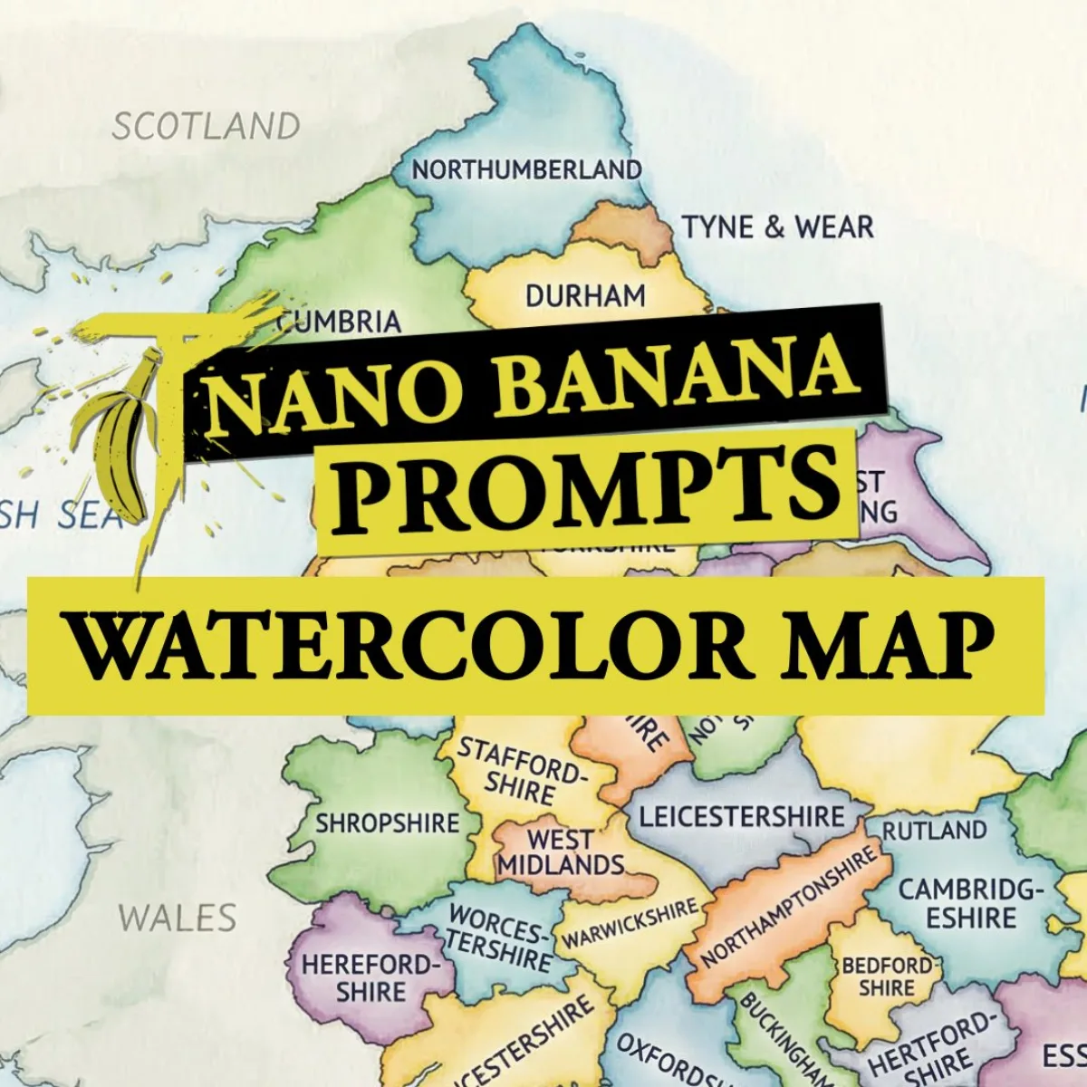
Watercolor Map of a Country with Administrative Divisions
Subject
A fine-grained watercolor-style map of {argument name="country name" default="COUNTRY"} on lightly textured paper, mild flowing washes in distinct harmonious colors for each first-level administrative division, all federal states, provinces or regions accurately separated by clear borders and labeled directly inside their areas in neat blue ballpoint-pen handwriting, educational and infographic-friendly, clean composition, high legibility, muted paper grain, gentle shading, refined illustrative finish, balanced negative space, no cities, no roads, no flags, no logos, no watermark, luminous clean background. Refine: name the rendering engine you want (Octane, Cycles, Unreal) for sharper outpu
Composition
Three-quarter angle with the subject slightly off-center for visual interest.
Lighting
Even high-key studio lighting for clean product clarity.
Setting
Seamless background in a neutral palette for visual focus.
Style
Watercolor Map of a Country with Administrative Divisions.
Details
4K ultra-detailed render with realistic micro-textures and accurate material reflections.